Drawings of Historical Saskatchewan
Table of Contents Page One
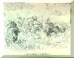
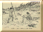
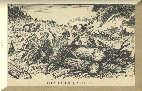
| Indians Hunting Buffalo | |
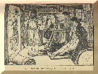
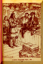
| Frontier Trader's Store | |
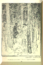
| Survey Party | |
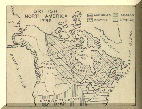
| British North America 1792 map | |
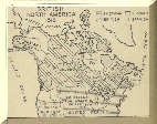
| British North America 1818 map | |
|
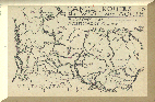
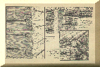
Canoe Routes to the West and North: Hudson's Bay Co. North West Co. etc. | |
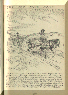
| Red River Cart | |
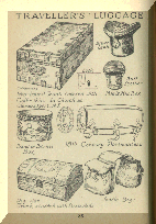
| Traveller's Luggage | |
| Indians Breaking Into Beaver House | |
| Indian trading furs | |
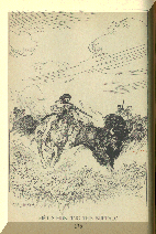
| Metis Hunting Buffalo | |
| Clearing Land | |
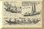
| York Boats | |

| Corduroy Pole Bridges | |
| Log House Construction. | |
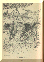
| Potash Boiling | |


| ||
| ||
|
Bibliography: The PICTURE GALLERY of CANADIAN HISTORY Vol. 2 1763 to 1830. Illustrations drawn and collected by Jefferys, C.W., R.C.A., L.L.D. Assisted by T.W. McLean The Ryerson Press - Toronto Copyright Canada, 1945 by C.W. Jefferys, R.C.A. |