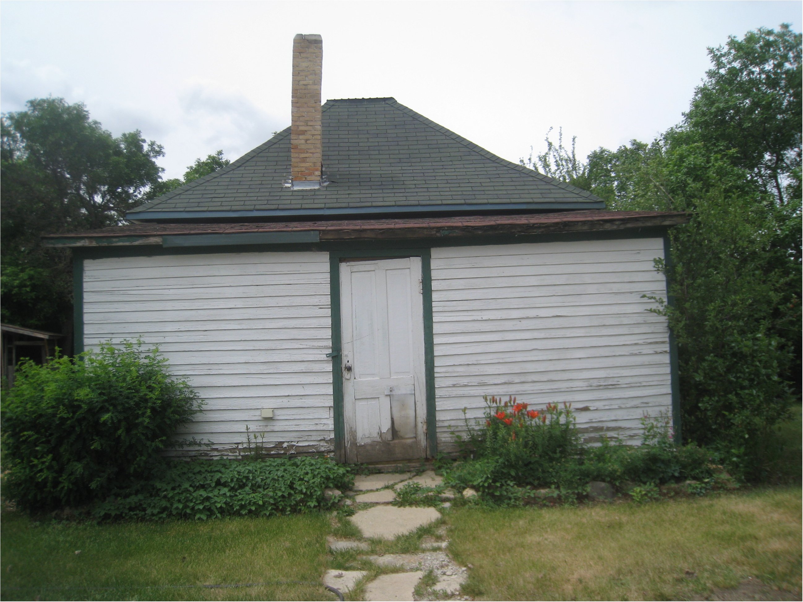
RosefarmSD

An additional note received from Merle Harrison, {Meadow Prairie / Barich School 2716}, adds that "Rosefarm School is 4 miles directly south of the town of Herbert," and that Henry Penner was one of the students of Rosefarm. When Merle Harrison returned to her farm near Rosefarm School, the above photos were submitted. The first one is the only one with the flagpole showing on the north side of the school. This photo is taken on the south side of the school. The second photo is from the north east corner of the school. The third photo would have been the entrance on the east side. The schoolhouse has been re-purposed, and the new owners, have planted coniferous trees to sort of frame the school yard area. If you are into google earth, you could zoom in and see it topographically. The location is four miles south, turn right to west, and it would be about a quarter of a mile down that road. Enjoy, Merle For more information:Rosefarm School District 2632 historical images submitted by Patricia SchmidtExcelsior RM 166 School District Map includes: Beaver Flat NW 29 18 12 W3 Bethania SE 15 17 10 W3 Centre Spring NW 17 17 11 W3 Diamond Hill SW 7 17 12 W3 Donellyville SE 8 16 10 W3 Fox Friesen SE 10 19 12 W3 Funk NW 9 19 11 W3 Goethe NW 17 18 10 W3 Highfield NE 32 18 11 Hovdestad SE 24 19 13 W3 Leonard S 8 18 12 W3 Lobethal SE 29 19 10 W3 Los Angeles SE 28 18 10 W3 Main Centre Moscow NW 2 18 12 W3 Notman NW 20 16 11 W2 Reed Valley SW 1 18 10 W3 Rockside SW 31 17 10 W3 Rosefarm Rush Lake Rush Valley Salt Lake SE 27 18 11 W3 Spenst NE 16 17 12 W3 Swan Lake SW 4 18 11 W3 Turnhill NW 30 18 11 W3 Waldeck NE 21 16 12 The school district straddles RM 165 and RM 166. Herbert, Saskatchewan is located at South section 18 township 17- range 9-West of the 3rd meridian Latitude - Longitude : 50? 25' 35'' N, 107? 13' 30'' W OR 50.4264749, -107.2249944 Nearby Placenames are: Burnham Saskatchewan Unincorporated area Fauna Saskatchewan Unincorporated area Flowing Well Saskatchewan Unincorporated area Glen Kerr Saskatchewan Unincorporated area Herbert Saskatchewan Town Main Centre Saskatchewan Hamlet Old Main Centre Saskatchewan Unincorporated area Prairie View Saskatchewan Unincorporated area Rush Lake Saskatchewan Village Teakle Saskatchewan Unincorporated area For more information: History of Rural Municipality of Excelsior No. 166 : 1910-1967 by Lee, Charles The Rural Municipality of Excelsior No. 166, Saskatchewan was originally called Waldeck No. 166, Saskatchewan Bittersweet years : the Herbert story Herbert, Saskatchewan: Town of Herbert, 1987 Highway one ran parallel to the railway School Maps Canadian Online Historical Map Digisitaztion Project |
| Gallery |
Thank you for stopping by #
Web Page title:
URL:
Copyright ? Web Publish Date: All Rights Reserved
Saskatchewan One Room School House Project
Regina Gen Web Region
E-mail Webmaster ... Important Notice - Submitter
Bibliography:
1.
From: Julia Adamson ORSH webmaster
Subject: Rose Farm School
Date June 17, 2017


