 | Cupar and District Heritage Museum One Room Schoolhouse Photos South East area of the province of Saskatchewan (SK), Canada (CA) |
| SCHOOL NAME | NUMBER | OPENING | CLOSURE | MAP SHEET | QUARTER | SECTION | TOWNSHIP | RANGE | MERIDIAN | NEAR | DATE OF PHOTO | NOTES |
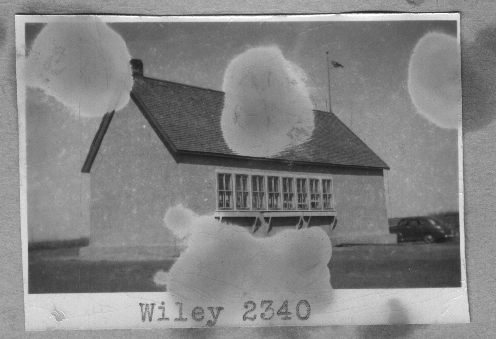
| WILEY | School District # 2340 | 1909 | 1957 | Regina Sheet Map | SE | 8 | Township 24 | Range 17 | W of the 2 nd Meridian | near Markinch | 1949 | |
| Cupar and District Museum Schools main page; For more information School district map; regional township, range map, neighbouring placenames; neighbouring school districts; Bibliography. P.O. abbreviation Post office | ||||||||||||
 |
Click on image for larger size
Cupar Town Location 8-23-16-W2,Province Saskatchewan, Latitude - Longitude DMS 50° 56' 48" N, 104° 12' 39'' W, Latitude - Longitude (decimal) 50.9466583, -104.2109556. Cupar and District Heritage Museum One Room Schoolhouse Photos School listing from Cupar and District Heritage Museum Schoolhouse Images Relevant Placename Listing (Towns, Villages) with legal land locations Pertinent Rural Municipalities School District Maps for this school listing with legal land locations 1924 Railway Map showing Township 20-27, Range 12-20, West of the Second Meridian Legal Land Description: Township, Range, Meridian Information For more information: Local History Books |