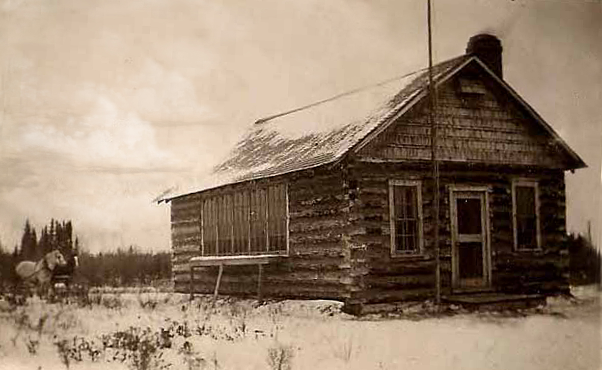
 | Reno Hill School District 5158 South east section 18 township 53 range 11 west of the 2nd meridian near Mossy Vale, SK, CA north west section 28 township 53 range 11 west of the 2 meridian E.B. Campbell Dam, Tobin Lake, Saskatchewan |
 |
|
Submitter, photographs © The Reno Hill School District 5158 schoolhouse pictures were submitted by Jess
Reno Hill School. My grandmother Elizabeth Lenora (Bryan) Oram was schoolteacher here. My grandparents were homesteaders near Mossy Vale, SK and their original farm was flooded with the creation of Tobin Lake and the E.B. Campbell Dam.
Jess (For more about the Mossy Lake region and the creation of Tobin Lake and the E.B. Campbell Dam.) |
Reno Hill School District 5158 |
| Gallery |
Thank you for stopping by #
Web Page title:
URL:
Copyright ? Web Publish Date: All Rights Reserved
Saskatchewan One Room School House Project
Prince Albert Gen Web Region
E-mail Webmaster ... Important Notice - Submitter
Bibliography:
1.
From: Jess
To:Julia Adamson ORSH webmaster
Subject: Reno Hill School photo
Date 01/03/2013
![]()