
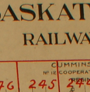
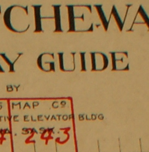
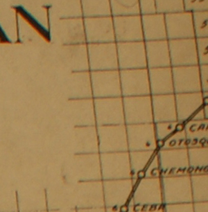
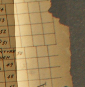
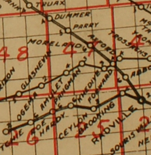
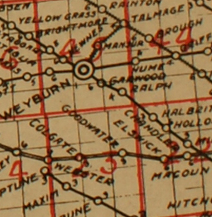
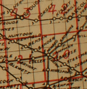
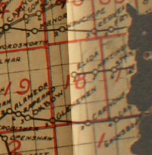
Here is the map of Saskatchewan marked with townships and ranges, and sectioned off into the various Cummins Maps with their corresponding map number. If you don't see a map online, Contact the Archives of Saskatchewan with the Map number and year (ie 1920, 1922, 1926, or 1930) verify the township and range, and meridian or placename - city, town, hamlet - corresponding to the Cummins Map number you would be seeking to find....The Archives collection call number would be A/3. Let the archives know if you would like a print out copy or a digital copy emailed ..... The archives does not have every single map - there are gaps in the maps existing at the archives for the various years, however one can check with an enquiry to see if the desired map number and the corresponding year would be available.
| Map Number | Placenames on Map | Legal land location |
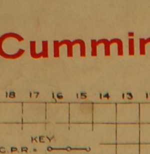
| Legend. Scale and symbols used on Cummins maps. (Click on above image for larger size) | ||
| Map 118 | Bernard, Sunkist | T 22 R 9 W3 (Partial map) |
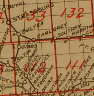
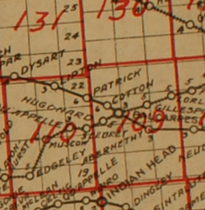
| Map 119 | Southey, Ardkenneth, Jonesville, Dahlby, Demaine, Collins | Ardkenneth is in T 21, R 10, W3 |
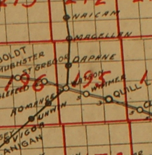
| Map 120 | Akra, Gunderson | Gunderson is at Sec.15, T 21, R.15, W3 |
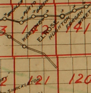
| Map 121 | Neosho, Russborough, Horse Butte, Kyleville, Tuberose, White Bear, Fundale | Neosho is located in T 21 R 17 W3 |
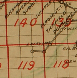
| Map 139 | Tichfield, Dunblane, Birsay, Lucky Lake, Greebrier, McRorie, Manna, Anerley, Rossduff, Aiktown, Demaine, Riverhurst, Elbow | T 23, Ranges 7,8,9 (Elbow is located in T 25, R.5, W3) |
| Map 140 | Rossduff, Lance Valley, Wiseton, Macrorie, Sawyer, Demaine, Helmville, Dinsmore, Steeledale, Mosten, Dunblane, Lucky Lake, Collins, Lucky Lake, Bounty, Twin Hill, Dahlby, Alford, Leigh | T 23 24 25 R 10, 11, 12 W3 (Demaine is located in T 22, R.10, W3) |
| Map 141 | High Point, Lance Valley, Coteau, Elrose, Saltburn, White Bear, Saskatchewan Landing, Tuberose, Lucky Lake, Fundale, Hughton, Alford, Wiseton, Forgan, Dinsmore, Richlea, Sovereign | T 23, 24, 25 R 13, 14, 15 W3 |
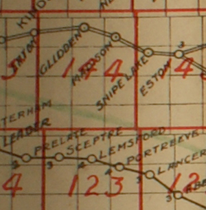
| Map 142 | Plumbridge, Saltburn, Plato, River Front, Elrose, Eston, White Bear, Tubersoe, Rushford, Richlea, Greenan, Beckleigh, Penkill, Wartime, Tyner, McGee, Teborton | R 23 24 25 R 16 17 18 W3 |
| Map 143 | Amderranda, Penkill, Richlea, Snipe Lake, Eston, Fairdale | T 24 25 Ends southerly at the Saskatchewan river (partial) (Eston is located in T25, R20, W3) | Map 144 | Glidden, Tuscola, Madison, Noremac, Riverfront | T23 24 25 26 Ends southerly at the Saskatchewan river (partial) (Glidden is located at Sec.14, T.26, R.24, W3 ) |
| Map 145 | Laporte, Gorefield, Erton (also the lake; Cabri Lake) | T 24 25 26 |
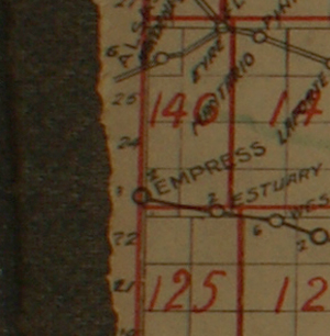
| Map 146 | Alsask, Empress, Alta, Eyre, Marengo, Mantario, Estuary, Castlecoombe, Leader, Masonville, Josephine, | T23 24 25 26 R 28 29 W3 |
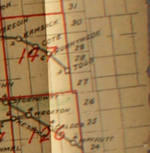
| Map 147 | Togo, Kamsack, Canora, Runnymede, Calder, Veregin, Stornoway, Wroxton, Mulock, | T 28 29 30 R 30 31 32 33 W1 |
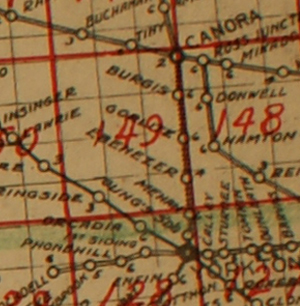
| Map 148 | Canora, Donwell, Mikado, Gorlitz, Ebenezer, Hamton, Kamsack, Veregin, Rhein, Burgis, Yorkton, Stornoway | T27 28 29 30 R 1 2 3 W1 |
| Map 149 | Ebenezer, Yorkton, Orcadia, Springside, Lenman, Theodore, Beaverdale, Willowbrook, Gorlitz, Canora, Ebenezer Valley, Whitesand, Burgis, Drobot, Tiny, Buchanan, Devil's Lake | T 27 28 29 30 R 4 5 6 W2 |
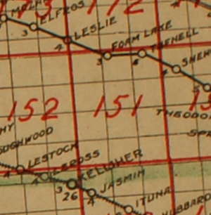
| Map 152 | Rushville, Wishart, Mozart, Wynyard, Elfros, Leslie, Ladstock, Mildnay Park, Punnichy, Wynot, Lestock, Foam Lake, Model Farm, Leross, Kelliher, Edmore | T 27, 28, 29,30 R 13, 14, 15 W2 |
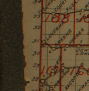
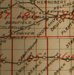
| Map 164 | Beadle, Netherhill, Brock, D'Arcy, Madison, Eston, Snipe Lake, McMorran, Penkill, Richlea | T 27, 28, 29,30 R 13, 14, 15 W2 |
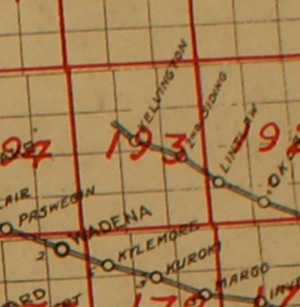
| Map 173 | Wadena, Fishing Lake, Paswegin, Clair, Elfros, Mozart, Lelsie, Wynyard, Kristnes, Rushville | T 31, 32, 33, 34 R 19, 20, 21 W3 |
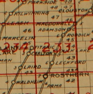
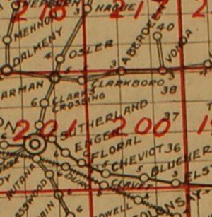
| Map 217 | Rosthern, Hague, Aberdeen, Osler, Vonda, Aberdeen, Alvena, St. Julien, Clarkboro, Sokal, Fish Creek, Saskatchewan | T 39, 40, 41, 42A, 42 R 1, 2, 3 W3 |
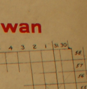
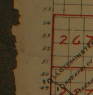
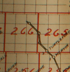
| Map 267 1920 | Lloydminster, Hewitt Landing, Rex, Greenstreet, Tangle Flags, Marshall, Northminster, Fort Pitt, Monnery, Onion Lake, Harlan | T 51-54 R 25-27 W3 |
| Map 267 1922 | Lloydminster, Tangleflags, Hewitt Landing, Rex, Northminster, Paradise Hill, Ashley, Fort Pitt, Red Cross, Edmonton, Harlan, Greenstreet, Monnery | T 51-54 R 25-27 W3 |
| Map 267 1930 | Lloydminster, Tangleflags, Greenstreet, Ashley, Hewitt Landing, Rex, Northminster, Twin Lakes, Leighton, Alberta, Fort Pitt, Harlan, Red Cross, Frenchman Butte, Hillmond, Paradise Hill | T 51-54 R 25-27 W3 |
| and so on according to the given map attached below (I will continue to add to this chart as time allows.) | ||
 |
 |
 |
 |
 |
 |
 |
 |
 |
 |
 |
 |
 |
 |
 |
 |
 |
 |
 |
 |
 |
 |
 |
 |
 |
 |
 |
 |
 |
 |
 |
 |
 |
 |
 |
 |
 |
 |
 |
 |
 |
 |
 |
 |
 |
 |
 |
 |
 |
 |
 |
 |
 |
 |
 |
 |
 |
 |
 |
 |
 |
 |
 |
 |
 |
 |
 |
 |
 |
 |
 |
 |
 |
 |
 |
 |
 |
 |
 |
 |
 |
 |
 |
 |
 |
 |
 |
 |
 |
 |
 |
 |
 |
 |
 |
 |
 |
 |
 |
 |
You are our You are our visitor since March 2012- thanks for stopping by! |
 ............ ............ Home............ Home............ Sign Guestbook Sign Guestbook |
Oliver F. Cummins, the creator of the Cumins Map Company which produced the rural plans died in 1961 while on holiday in Seville, Spain following surgery. He is buried in Mount Hope Cemetery in Ontario., Cummins Map Company ,Saskatchewan, Canada Map Index, Cummins Map Company ,Saskatchewan, Canada Map Index., Cummins Map Company ,Saskatchewan, Canada Map Index.