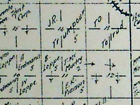
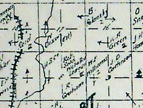
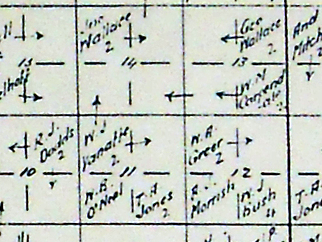
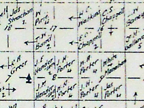
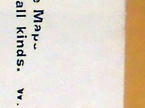
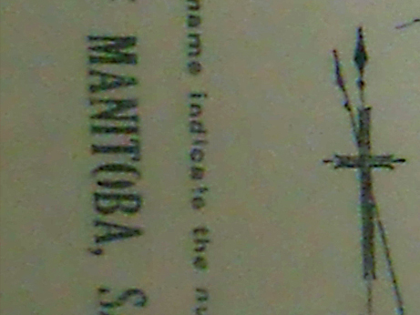
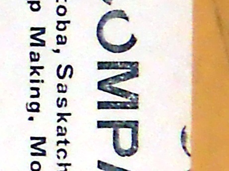
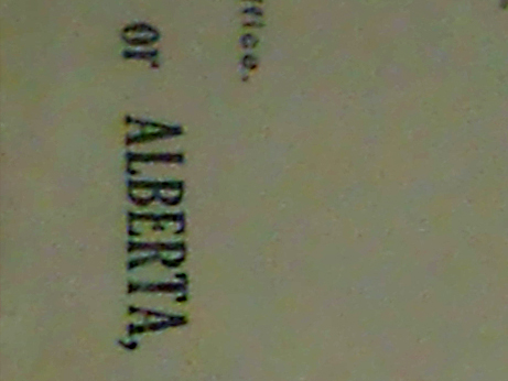
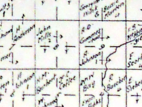
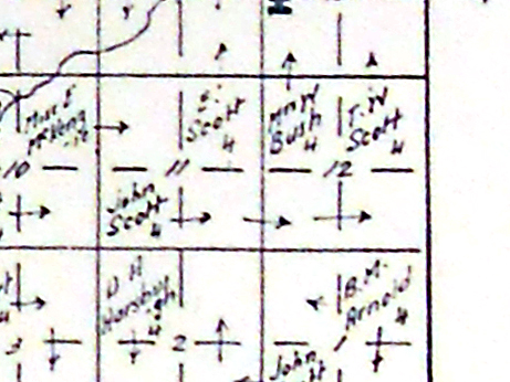
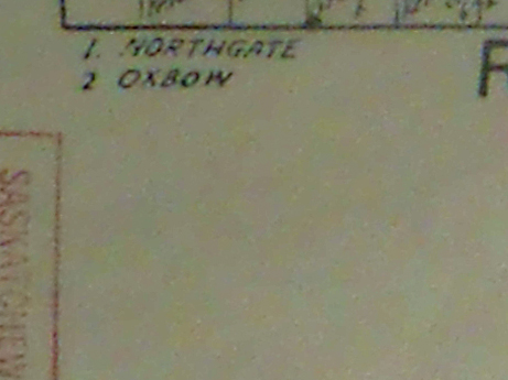
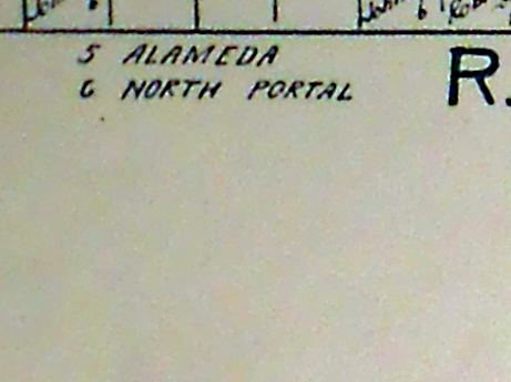
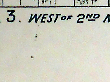
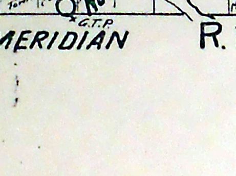
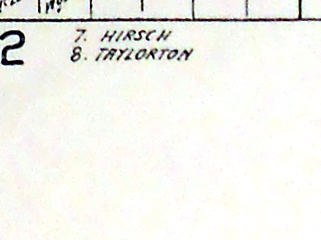
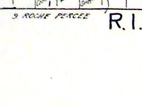
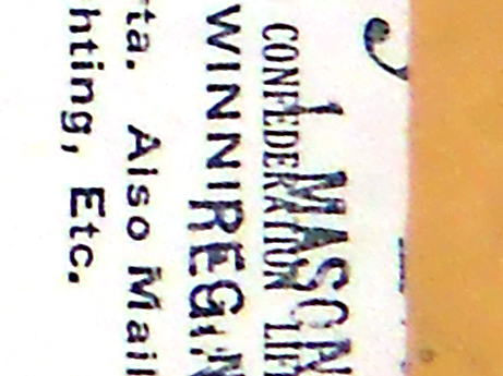
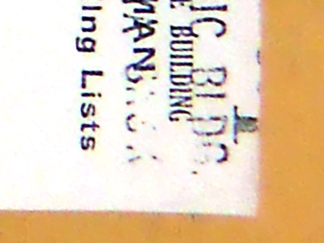
Cummins Map 2, Townships 1 and 2, Ranges 1, 2, 3, 4 West of the Second Meridian, South east portion of the province of Saskatchewan, Sask, SK, historical Map, 1920 map, 1920 map of the Regina area, 1920 Railway Map, Historical Map, Saskatchewan, Canada,
Scale: 
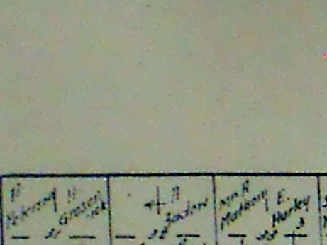
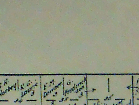
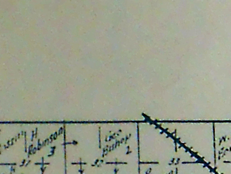
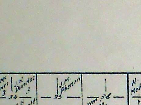
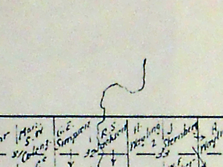
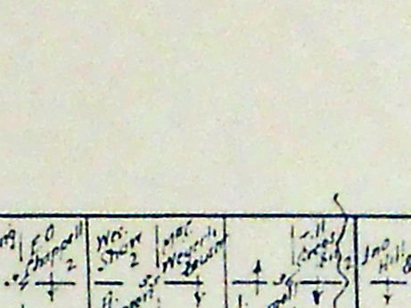
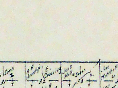
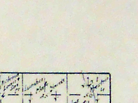
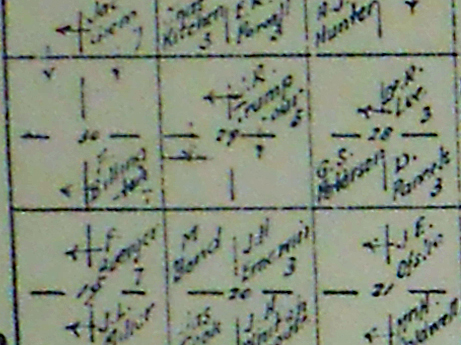
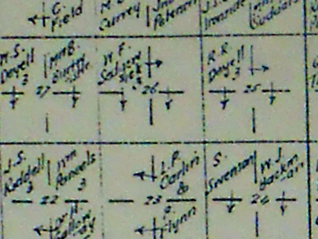
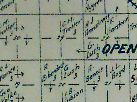
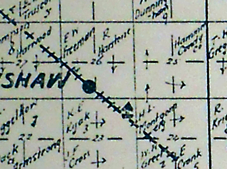
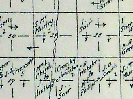
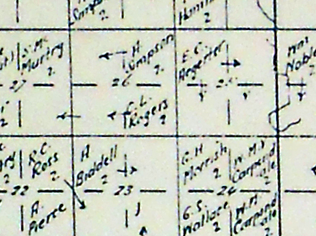
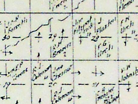
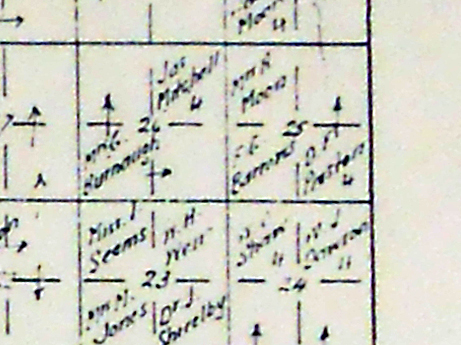
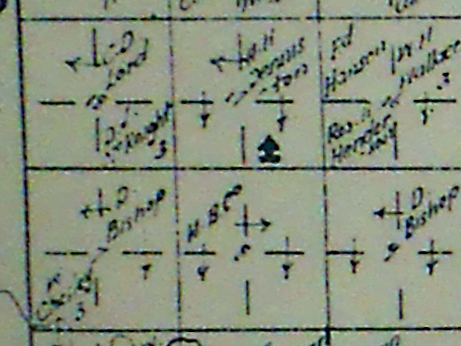
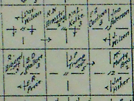
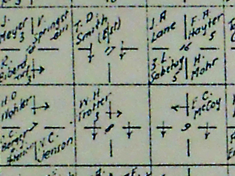
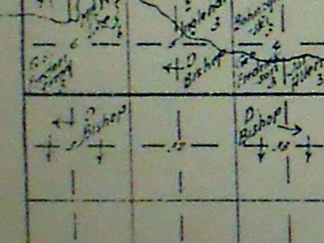
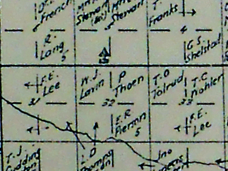
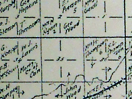
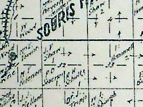
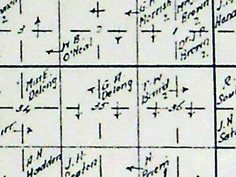
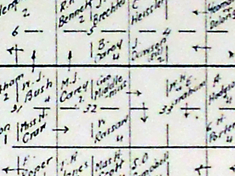
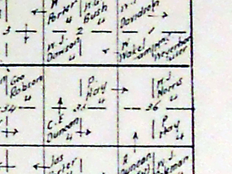
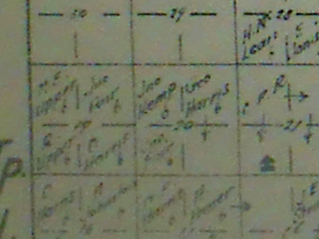
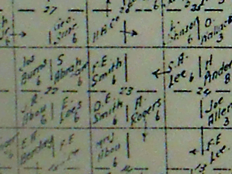
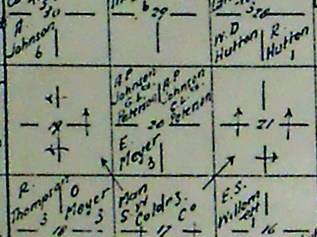
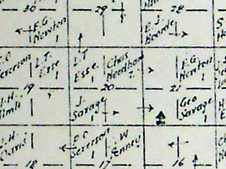
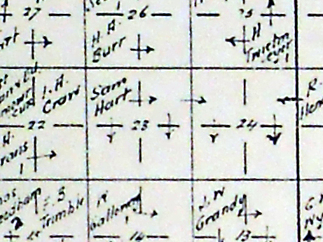
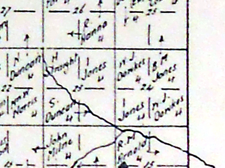
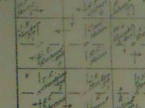
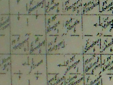
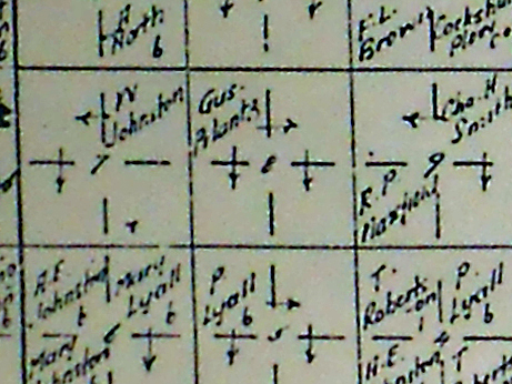
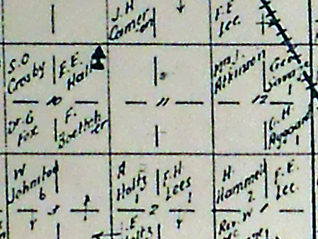
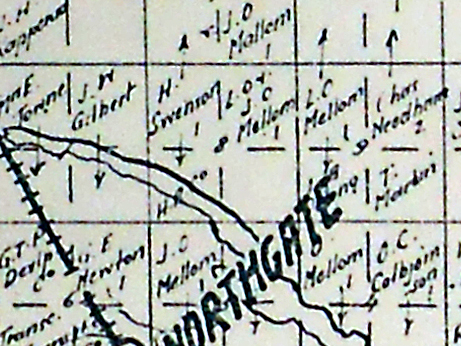
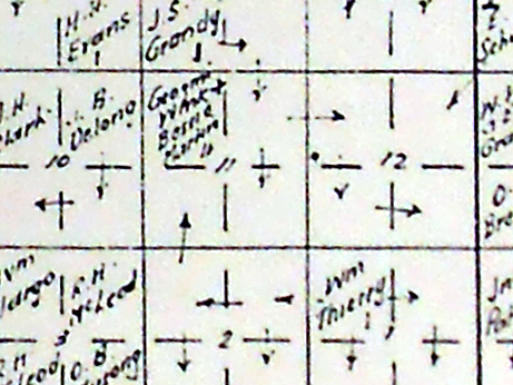
This is a sample "Section", in this case numbered 21. Each township had 36 sections and had an area of 6 miles by 6 miles. 1 section of land has 4 quarter sections, each section of land was one mile by one mile in size. Each quarter section was denoted as north west, north east, south west or south east as the case may be. On Map 144 for instance, Glidden was located on the Canadian National Railway - the north west quarter of section 21, township 26, range 23 West of the third meridian. A nearby homesteader, F. Hillacre farmed both the north west and north east quarters of section 16 township 26, range 23, west of the third meridian. A settler could apply for a pre-emption. They had an option to purchase the quarter section next to theirs as a pre-emption, by paying the market price of the time which was about $2.00 acre. Even numbered sections were reserved for homesteads and pre-emptions, while odd-numbered sections were sold. A homesteader was granted a "quarter-section" for a $10 filing fee and he had to perform homesteader duties over the ensuing three years to be earn a Dominion Land Patent or "Title" to the land. For more information, and tutorial about Townships, ranges and meridians and about homesteads.
Cummins Map 2, Townships 1 and 2, Ranges 1, 2, 3, 4 West of the Second Meridian, South east portion of the province of Saskatchewan, Sask, SK, historical Map, 1920 map, 1920 map of the Regina area, 1920 Railway Map, Cummins Map 2, Townships 1 and 2, Ranges 1, 2, 3, 4 West of the Second Meridian, South east portion of the province of Saskatchewan, Sask, SK, historical Map, 1920 map, 1920 map of the Regina area, 1920 Railway Map, Cummins Map 2, Townships 1 and 2, Ranges 1, 2, 3, 4 West of the Second Meridian, South east portion of the province of Saskatchewan, Sask, SK, historical Map, 1920 map, 1920 map of the Regina area, 1920 Railway Map, Cummins Map 2, Townships 1 and 2, Ranges 1, 2, 3, 4 West of the Second Meridian, South east portion of the province of Saskatchewan, Sask, SK, historical Map, 1920 map, 1920 map of the Regina area, 1920 Railway Map, Cummins Map 2, Townships 1 and 2, Ranges 1, 2, 3, 4 West of the Second Meridian, South east portion of the province of Saskatchewan, Sask, SK, historical Map, 1920 map, 1920 map of the Regina area, 1920 Railway Map, Cummins Map 2, Townships 1 and 2, Ranges 1, 2, 3, 4 West of the Second Meridian, South east portion of the province of Saskatchewan, Sask, SK, historical Map, 1920 map, 1920 map of the Regina area, 1920 Railway Map,